PROFESSIONAL LAND SURVEYORS
Partners
John Hanlon and Kurt Chrobak have over 60 years of land surveying experience combined. John Hanlon holds Professional Land Surveyor licenses in the states of New Jersey, Pennsylvania and Georgia. Kurt Chrobak is currently working on obtaining his Professional Land Surveyors license.

John Hanlon
Kurt Chrobak

Change of Ownership Announcement
We want to bring to your attention and announce that the company VS Land Data of Philipsburg NJ, owned and operated by Peter Van Wallendael, Philipsburg NJ is being transferred to the new owners, John Hanlon and Kurt Chrobak, Toms River NJ with a regional office in Layton, NJ. After 17 years of ownership, Pete Van Wallendael is planning on retiring to spend more time doing the things he loves such as hiking, skiing and traveling. The change in the ownership is effective starting on June 3, 2022. Moving forward the company will be known as RWC Surveying, LLC. The significance of this new name is that of the initials of Richard W. Carlson, who was the first land surveyor to employ John Hanlon. Without Mr. Carlson’s phone call many years ago, who knows what path John would have chosen.
ABOUT RWC SURVEYING
Professional Land Surveyors
RWC Surveying, Toms River NJ, formerly known as VS Land Data, transferred ownership in early 2022 to John Hanlon and Kurt Chrobak. VS Land Data was established in 2005 by its founder, Pete Van Wallendael.
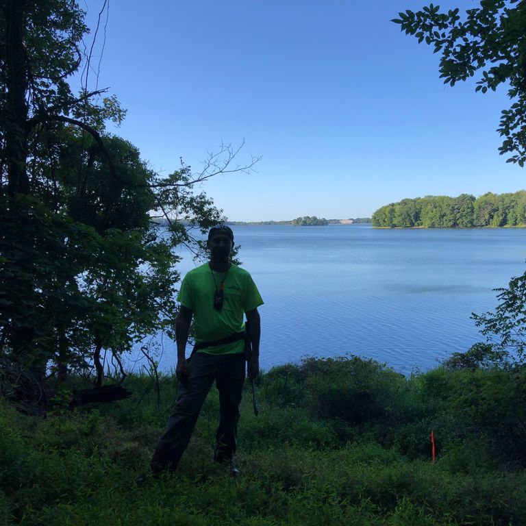
RWC Surveying provides consulting for engineering and architectural companies, as well as homeowners, governmental agencies, attorneys and business owners.
Your project deserves a highly motivated team of experts who incorporate continuous education and years of experience. We take pride in our work and hold high standards of ethics in all of our projects. We seek to exceed our clients expectations with the quality of our work.
For nearly 60 years of combined experience, the partners at RWC Surveying, LLC have built a quality reputation of integrity, honesty, and accuracy.
SERVICES OFFERED:
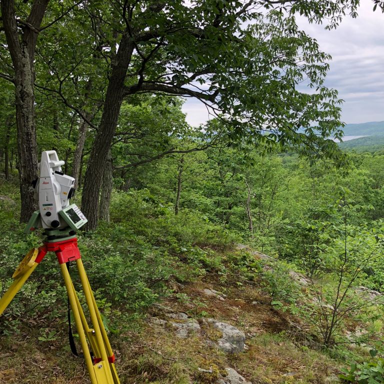
- Boundary Surveys: If you are transferring a real estate title, or are developing the land for a client.
- Topographic Surveys: For clients who are developing the land. If you are building a house, building a pool, or any type of construction.
- Flood Elevation Certifications: If you are in need of a legal form stating your building's elevation.
- Tower Surveys: If you are building a cell tower, or are adding on to an existing cell tower already built.
- FAA 1 A Certifications: Cell towers
- Form B Certifications: Monitoring wells
- ALTA/NSPS Land Title Survey
- Construction Layout
- Wetlands Delineation
RWC Surveying serves New Jersey and Pennsylvania
Give us a call to find out how we can help you.
© Copyright. All rights reserved.