Services
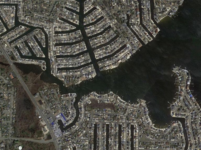
Boundary & Topographic Surveys
The boundary survey establishes the perimeter of a property as it relates to a site's legal description along with existing conditions and topography.
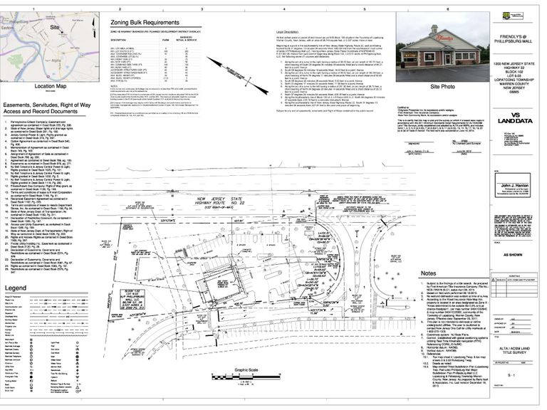
ATLA/NSPS Land Title Surveys
The specific needs, unique to title insurance matters, when asked to insure title to land without exception as to the many matters which might be discoverable from survey and inspection, and which are not evidenced by the public records.

Construction Layout
Providing construction layout services for proposed development of structures, utilities and grading.
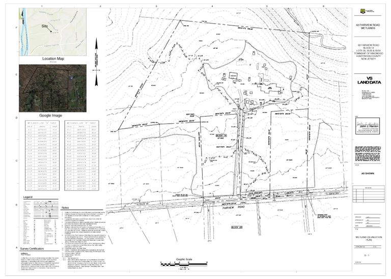
Wetlands Delineation Surveys
A wetlands delineation survey locates the boundary or border of a wetland or watercourse.

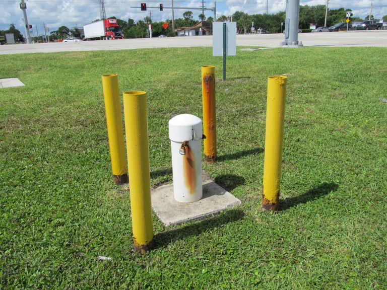
FAA 1 A Certifications
The Federal Aviation Administration (FAA) requires cellular tower location and elevation information to be accurately certified.
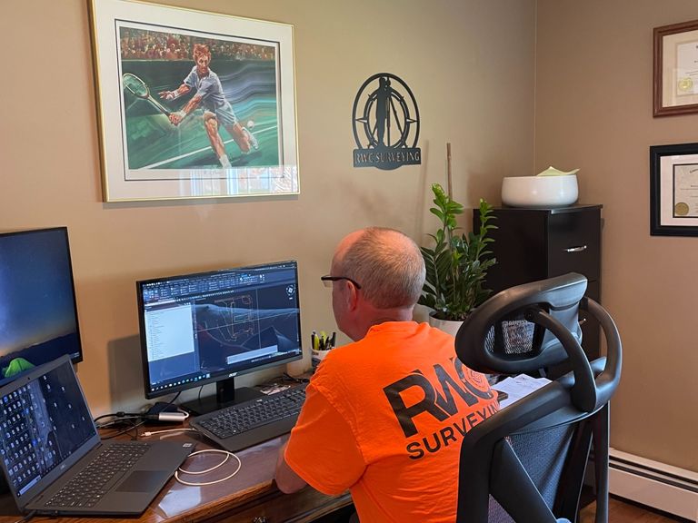
AutoCAD / Civil 3 D
Using AutoCad / Civil 3D allows RWC Surveying to draw and edit digital 2D and 3D designs quickly and easily. The files are easily saved and stored on a server where they can be accessed anywhere at anytime.
Flood Elevation Certifications
A flood elevation certificate is a standard form developed by FEMA and the National Flood Insurance Program (NFIP). The purpose of this form is to standardize and determine insurance rates in a flood zone.
NEED A PROFESSIONAL LAND SURVEYOR?
© Copyright. All rights reserved.